
Topographical Land Surveys
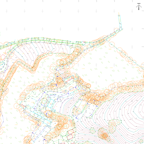
Land surveys produced by TAG surveys are easy to use, accurate and comprehensive.
As standard our land surveys will include all necessary information regarding existing building and structures, boundary details, a grid of spot levels, changes in ground surfaces, tree positions, drainage details and service cover positions.
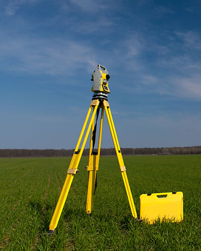
The use of reflector-less technology allows for the precise measurement of ridge/eave heights, location of any existing buildings or structures that are off site, and many other features that are inaccessible.


